Winter Storm Watch Issued

Boss 302

Pursuit Driver
...WINTER STORM WATCH IN EFFECT FROM MONDAY EVENING THROUGH TUESDAY AFTERNOON...
THE NATIONAL WEATHER SERVICE IN PEACHTREE CITY HAS ISSUED A WINTER STORM WATCH...WHICH IS IN EFFECT FROM MONDAY EVENING THROUGH TUESDAY AFTERNOON.
* LOCATIONS...PORTIONS OF NORTH GEORGIA...MAINLY ALONG AND NORTH OF A LINE FROM CARROLLTON TO ATLANTA TO HOMER.
* HAZARD TYPES...SNOW POSSIBLY MIXED WITH FREEZING RAIN OR SLEET.
* ACCUMULATIONS...1 TO 2 INCHES OF SNOW WITH 2 TO 3 ACROSS THE NORTH GEORGIA MOUNTAINS AND UP TO 4 INCHES IN THE NORTHEAST GEORGIA MOUNTAINS.
* TIMING...MONDAY NIGHT INTO TUESDAY.
* IMPACTS...SNOW COVERED ROADS WILL MAKE TRAVEL DIFFICULT MONDAY NIGHT INTO TUESDAY. GIVEN SNOWFALL AMOUNTS AND TEMPERATURES...THESE IMPACTS MAY LAST INTO MID WEEK.
* WINDS...NORTH TO NORTHEAST AROUND 5 TO 10 MPH WITH GUSTS UP TO 20 MPH.
* TEMPERATURES...IN THE LOWER 30S MONDAY NIGHT WARMING INTO THE MID TO UPPER 30S ON TUESDAY.
* UNCERTAINTY...THERE IS STILL CONSIDERABLE UNCERTAINTY IN THIS FORECAST AND SNOWFALL AMOUNTS ARE EXPECTED TO CHANGE LEADING UP TO THE EVENT. FOLKS ACROSS NORTH GEORGIA AND EVEN PARTS OF CENTRAL GEORGIA SHOULD MONITOR THIS SITUATION CLOSELY.
PRECAUTIONARY/PREPAREDNESS ACTIONS...
A WINTER STORM WATCH MEANS THERE IS A POTENTIAL FOR SIGNIFICANT SNOW...SLEET...OR ICE ACCUMULATIONS THAT MAY IMPACT TRAVEL. CONTINUE TO MONITOR THE LATEST FORECASTS.
 
I'm watching another site that shows the European models showing up to 8" of snow possible. This could be very interesting to see who is right this time.

Right now the wintery mix is projected to start in the evening. It will be interesting to see if reports come in during the day that it's hitting AL hard, if the school districts here will do an early release to ensure the children get home before any of the snow hits here.

Since the disaster of the last winter storm in Atlanta, it will be interesting to how GDOT and Atlanta officials prepare in anticipation.
 
I told Mrs. Mac, that you guys are getting all the fun stuff! It is going to miss us again up here.
 
I would love to hear the Paulding County superintendent send out a phone message saying this " Due to a possibility of snow, we will not have school until Thursday. I know it is remote but after this last time, we will no longer require kids to come to school if there is a slight chance of anything. Now don't say a word come winter or spring break or the lack of one. Have a great week and be safe".

Lol
 
Blazing Saddles said:
I would love to hear the Paulding County superintendent send out a phone message saying this " Due to a possibility of snow, we will not have school until Thursday. I know it is remote but after this last time, we will no longer require kids to come to school if there is a slight chance of anything. Now don't say a word come winter or spring break or the lack of one. Have a great week and be safe".

Lol

I don't think you're going to hear that at all. LOL

I do hope that if it looks like the snow is going to hit the area before the end of the school day, they begin releasing them early.
 
We have been duly warned so we have no excuse if we're stuck out in it this time. Will be interesting to watch it unfold.
 
Y'all, DDD over at GON is calling for an epic snowstorm.

Yikes! He's usually right, isn't he?
 
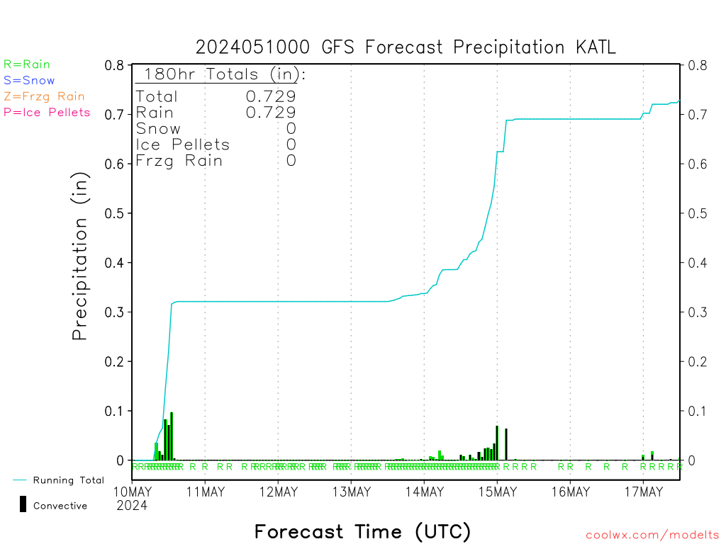
GFS Model is beginning to confirm European model. In addition, GFS indicates snow Mon. Night followed by freezing rain Tuesday afternoon. YIKES! But of course there is still over 24 hrs. and these things can change drastically in just 6 hours.

prec.png
 
They can change quickly. I've looked at some euro models that say the snow could be as much as 8".
 
I am supposed to leave Tuesday morning, training a guy, heading up to Chattanooga, then Cookeville, TN; then down into N.E. AL around to Huntsville and back on Thursday night.
Hmmmmmm.
 
Go look at the "NEW" watch area, covers everything just South of Macon to the Northern State line.
 
I'm looking at Georgia Outdoor News. There is a guy there who is very into weather and has been very accurate in the past. A lot of people I know put stock into what he says over what the ATL TV meteorologists do. He says this one could be real bad with snow coming in Monday followed by freezing rain on Tuesday and Wednesday. http://forum.gon.com/showthread.php?t=791328&page=11 He goes by DDD.
 
stradial said:
I am supposed to leave Tuesday morning, training a guy, heading up to Chattanooga, then Cookeville, TN; then down into N.E. AL around to Huntsville and back on Thursday night.
Hmmmmmm.
I'd start cooking up "plan b"
 
Boss 302 said:
I'm looking at Georgia Outdoor News. There is a guy there who is very into weather and has been very accurate in the past. A lot of people I know put stock into what he says over what the ATL TV meteorologists do. He says this one could be real bad with snow coming in Monday followed by freezing rain on Tuesday and Wednesday. http://forum.gon.com/showthread.php?t=791328&page=11 He goes by DDD.
This is going to be a three day event. The only question is where the freezing line will be in all three dimensions. A cold shallow layer overrun by gulf moisture means freezing rain, and that's how Tuesday is shaping up over Atlanta. That is one of the hardest predictions to make however, so lets hope they are wrong.
 
MacDaddy said:
stradial said:
I am supposed to leave Tuesday morning, training a guy, heading up to Chattanooga, then Cookeville, TN; then down into N.E. AL around to Huntsville and back on Thursday night.
Hmmmmmm.
I'd start cooking up "plan b"

I have plan be "cooked up."
 
Boss 302 said:
MacDaddy said:
stradial said:
I am supposed to leave Tuesday morning, training a guy, heading up to Chattanooga, then Cookeville, TN; then down into N.E. AL around to Huntsville and back on Thursday night.
Hmmmmmm.
I'd start cooking up "plan b"

I have plan be "cooked up."
Plan B involves a picture window, a fireplace, and a generator.

Sent from a small screen using fat thumbs.
 
I'd MUCH rather see the 8" of snow vs. 1/2" of ice from freezing rain. I will be so completely hosed if we lose power. I have eggs in the incubators as well as chicks and ducklings in need of heat lamps. I'm already working on my back-up plan but it's gonna suck. :(
 
WSB says that this is gonna suck one way or another. They agree that it looks like a snow event Mon night followed by an icestorm later in the day Tues thru Wed. 2-3 inches of snow followed by over a quarter to half inch of ice. No melt until Thurs afternoon.

Sent from a small screen using fat thumbs.
 
lotstodo said:
WSB says that this is gonna suck one way or another. They agree that it looks like a snow event Mon night followed by an icestorm later in the day Tues thru Wed. 2-3 inches of snow followed by over a quarter to half inch of ice. No melt until Thurs afternoon.

Sent from a small screen using fat thumbs.

I just heard the same report. Hopefully people take better precautions this time when planning their school and work commutes. We just finished our big monthly grocery shopping trip so we will have plenty to eat, we'll use the grill if we lose power, and will put our refrigerated / frozen goods outside on the deck if needed.
 
Back
Top